Mon-Fri: 7:00 AM - 6:00 PM CST TBPELS Licensed & Insured

Professional Surveying Services

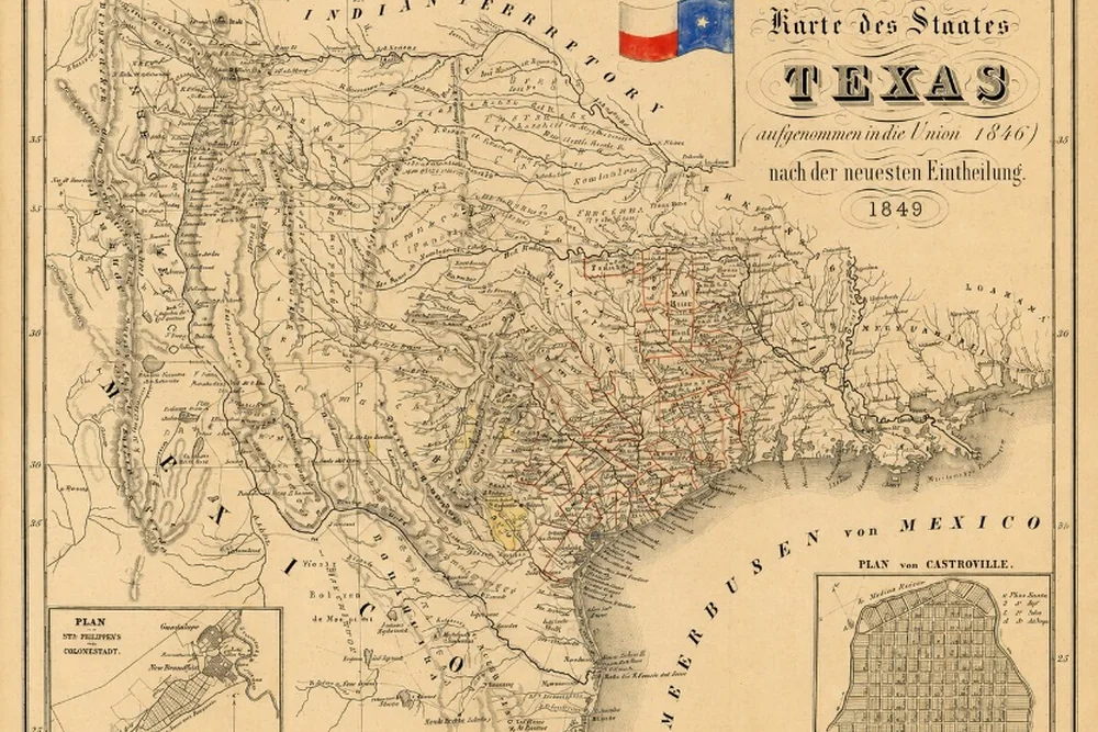
Comprehensive solutions for every land surveying need across Texas

Professional boundary survey service in Texas

Boundary Surveys

Establish precise property boundaries with surveys that meet all Texas legal requirements. Our TBPELS-licensed surveyors research deed records, locate existing monuments, and create detailed plats showing your exact property lines.

What's Included:

  • Comprehensive title research and deed analysis
  • Field location of property corners and monuments
  • Professional survey plat with TBPELS seal
  • Identification of encroachments and easements
  • CAD files and digital deliverables
Request Quote

Topographic Mapping

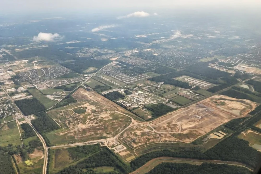
Detailed terrain mapping showing elevations, contours, and natural features. Essential for site development, drainage design, and construction planning.

Applications:

  • Site development and grading plans
  • Drainage and stormwater management
  • Architectural and engineering design
  • Environmental and floodplain studies
Get Started
Topographic mapping and terrain survey in Texas
Construction staking and layout services

Construction Staking

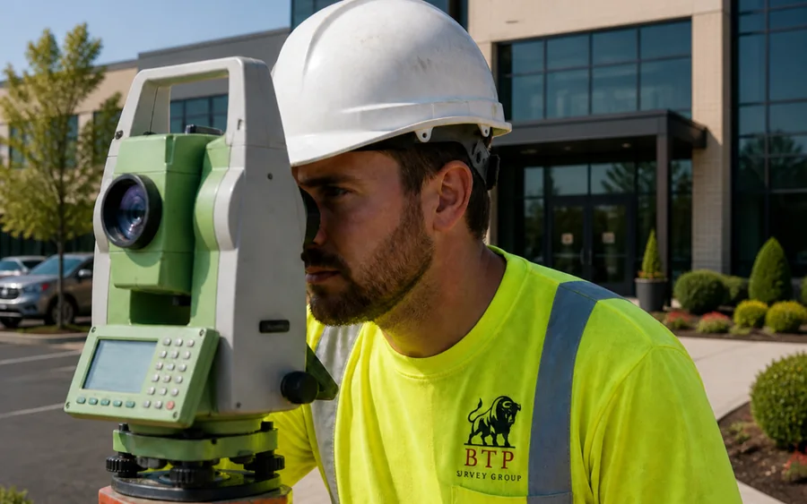
Precise layout and positioning for buildings, utilities, roads, and infrastructure. Ensure your project is built exactly where it's designed to be.

We Provide:

  • Building pad and foundation layout
  • Road and utility alignment staking
  • Cut/fill grade staking
  • As-built verification surveys
Request Quote

ALTA/NSPS Surveys

Comprehensive land title surveys meeting national standards for commercial real estate transactions. Detailed reports for lenders, buyers, and title companies.
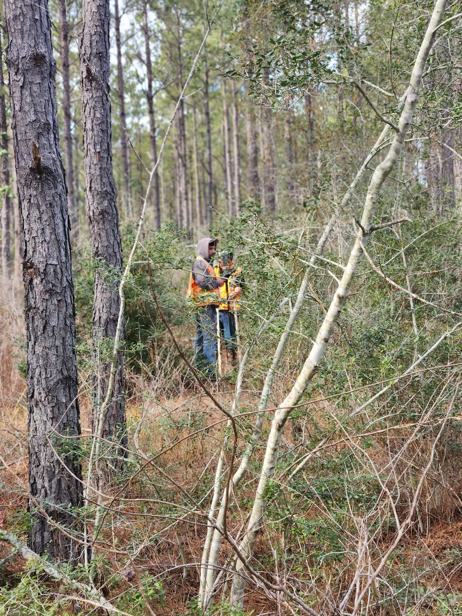
Includes:

  • Full ALTA/NSPS compliance (Table A items)
  • Boundary, easement, and encroachment identification
  • Zoning and flood zone determination
  • Digital deliverables for title companies
Get Quote
ALTA NSPS commercial land title survey at a Texas shopping center
BTP as-built survey field documentation in Texas

As-Built Survey

As-built surveys document exactly how a project was constructed, confirming that buildings, utilities, and site improvements match the approved design and recording any changes made in the field. Essential for project closeout, permitting, and long-term facility records.

What We Document:

  • Verification of constructed improvements against design plans
  • Location of utilities, structures, and site features
  • Documentation of field changes and deviations
  • Accurate records for closeout, permitting, and facility management
Request Quote

Ready to Start Your Survey Project?

Get a free, no-obligation quote from Texas's trusted land surveying professionals.

Call Now